Built for the field, kept for the record
One system. Four jobs that used to take four tools.
01
Append-only history — claims, photos, and field reports never get overwritten.
02
GPS-pinned photos sync onto the claim timeline the moment a phone reconnects.
03
Summaries ground every claim in the actual timeline — nothing invented.
From the blog
Findings from the field, on the record.
Long-form essays on infrastructure, insurance, and the record of truth.
Field → record
From the roof to the record
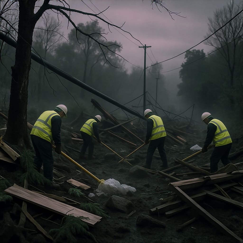
Every GPS-pinned photo a field tech takes at the asset lands on the same append-only timeline as the contract, the claim, and the inspection report. No thumb-drives. No screenshots in a chat thread.
A sweep, not a guess
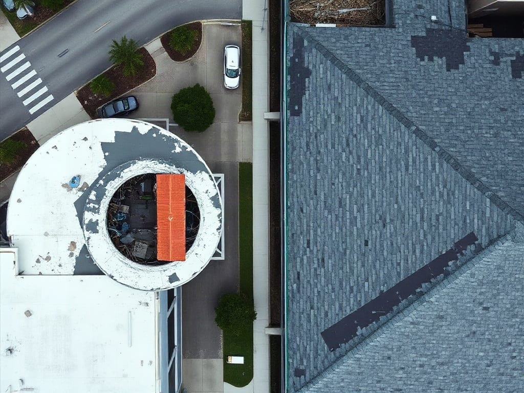
An overhead record, not a snapshot from the curb
A short overhead flyover sets the scene before a contractor, insurer, or municipality opens the project. The same clip stays anchored to the timeline as the project's first claim-pinned record.
Be on the list when Resilion opens.
Drop your email to be notified when access opens for your organization.